Distance : 6.5 miles/ 10.5 km
Time: 3 hours.
Difficult
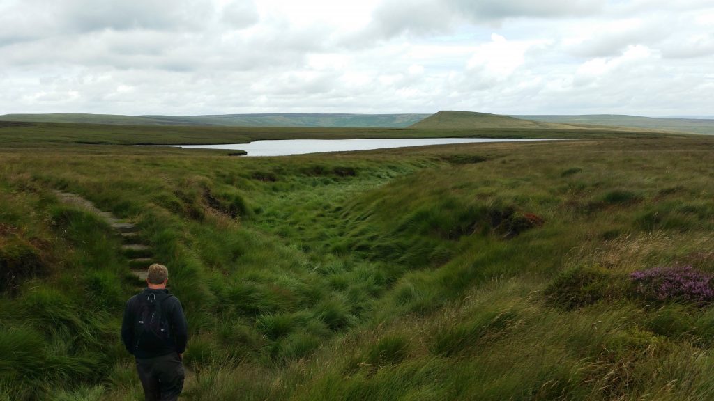
Discover the scenic Wessenden valley, ancient woodlands and deep upland reservoirs.
This route takes you to the scenic Wessenden valley, with ancient woodlands and reservoirs, on the Pennine Way and Standedge Trail close to the watershed and above Swellands reservoir.
How Tricky Is it?
This walk is graded as Difficult. These walks require a good level of fitness, crossing hilly ground or moorland with rising and falling levels. Paths may be rough and uneven, with some steeper slopes or longer sections of ascent and descent.
Walking boots and warm, waterproof clothing essential.
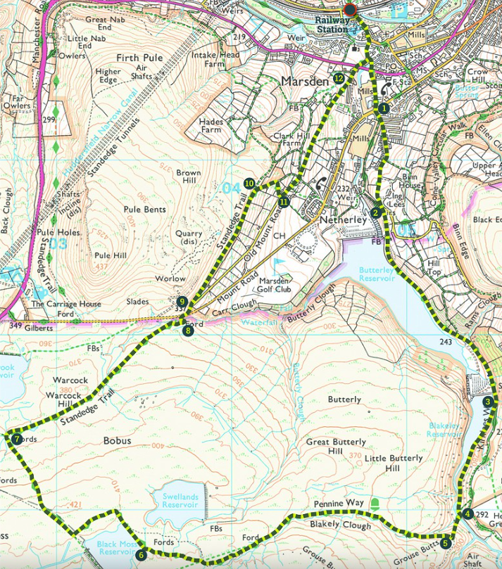
Overview map
Please pick up a leaflet from a range of village venues and the library. Or download the digital file here for more detail.
History notes
We worked with Marsden History Group in 2012, and they produced some great history notes for us. You can access the old version of the route map (mostly unchanged) to see those notes here.
Please note that the current OS map shows Swelands Reservoir as a ‘working’ body of water but as of 2025 it has been drained and is being returned to moorland. Adjacent Black Moss reservoir remains in use.